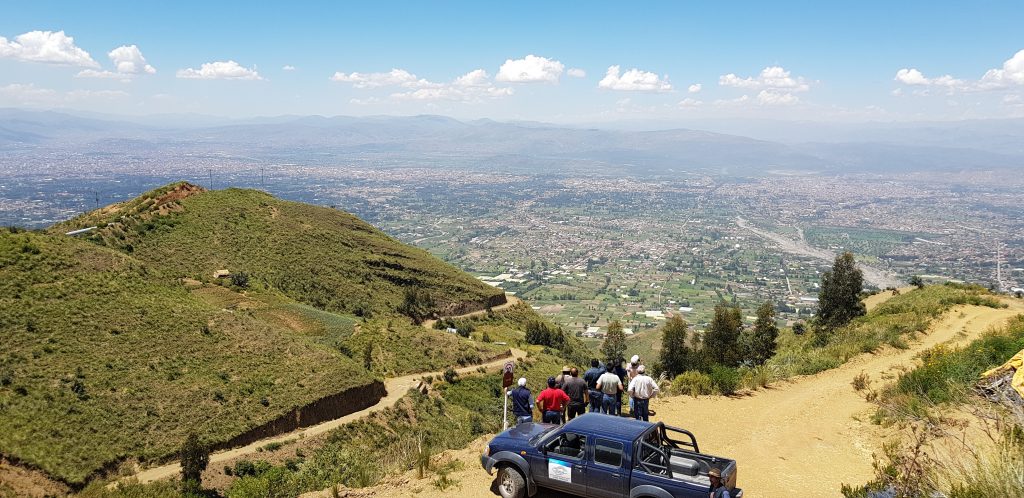
The aim of the project is to acquire key information by a combination of archive studies, hydrogeological field observations, geophysical mapping, water sampling for chemical and isotope analyses and conceptual hydrogeological modelling. The collected information will contribute towards a better understanding of the aquifer systems in order to found a base for developing management plans to avoid over exploitation and contamination.

