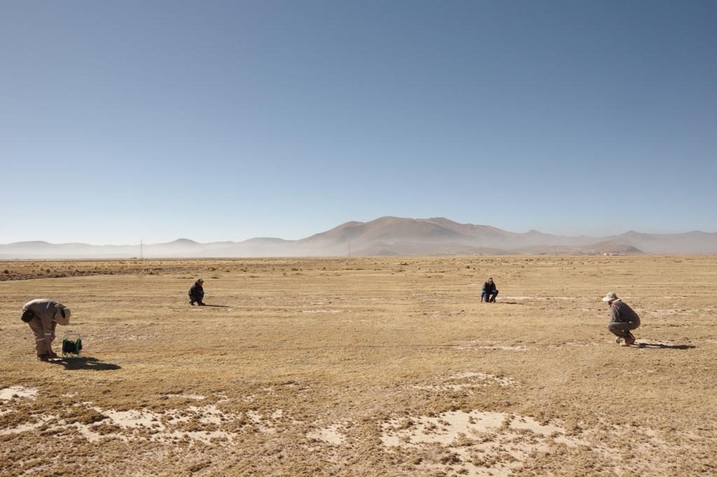
The aim of this project is to acquisition of such key information by a combination of archive studies, hydrogeological field observations, geophysical mapping, water sampling for chemical and isotope analyses, conceptual hydrogeological modelling, etc. A specific objective is to contribute towards a better understanding of the aquifer systems in order to found a base for developing management plans to avoid over exploitation and contamination. Another objective is to train Bolivian and Scandinavian students on PhD, MSc and BSc level. A further objective is to transfer knowledge of integrated geophysical aquifer mapping to local authorities within the groundwater and environmental sector.

