
The thesis “Altiplanic aquifer exploration by multidisciplinary methods” will be presented on Friday, 25th October.
Abstract
The sustainable use of groundwater relies on building up three stages: exploration, development and management. The exploration is crucial to understand the capabilities and limitations of aquifer units; e.g. volume of available water and potential yield, distinction of recharge and discharge zones, and the groundwater quality are developed in this stage. In the Altiplano, groundwater is probably the most important water resource to supply domestic consumption and irrigation, since surficial bodies have been affected by reductions linked to drought events.
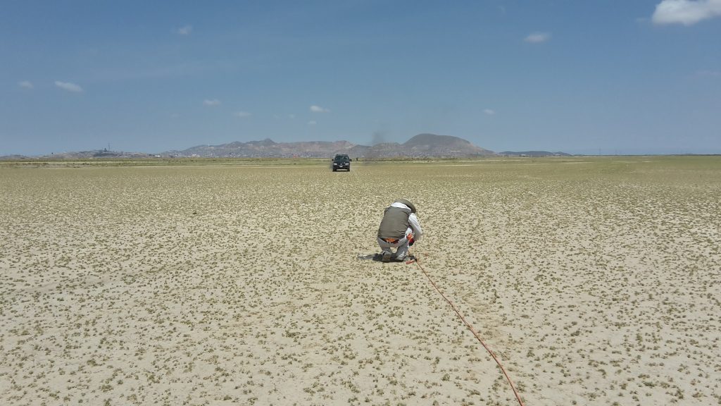
The city of Oruro, Bolivia, in the Central Altiplano, is supplied solely with groundwater from a porous aquifer that has been utilized for decades; however, its hydrogeological characteristics are not fully understood due to the scarcity of data and limited resources to conduct long-term research. In order to develop the exploration of the aquifer units to the north of Oruro, this thesis presents studies aiming to fill gaps in the knowledge about their hydrogeological characteristics. A multidisciplinary approach including analysis of isotopic data and geoelectrical surveys was applied in this thesis; results and interpretations are based on data from previous studies and from sampling and measurements conducted recently within this work. The study subjects in this thesis include groundwater flow patterns inferred through isotopic characteristics, deduction of some geological features (fault mapping and delineation of bedrock) from changes in resistivity and estimation of aquifer parameters relating hydraulic properties and resistivity. Data acquisition during this work consisted of sampling and analysing isotopic compositions in water from precipitation, rivers and wells. Likewise, resistivity was obtained from surveys using electrical resistivity tomography and transient electromagnetic methods.
Two aquifers were identified in the study area: unconsolidated sediments storing freshwater, currently under exploitation, overlying fractured bedrock that holds hydrothermal flows characterised by high temperature and salinity. Groundwater in the aquifers comes mainly from precipitation on the mountains, forming rivers that infiltrate laterally into the top aquifers, the natural discharge could have been located outside the limits of the study area, to the southwest; however, the cone of depression created by the wellfield supplying Oruro captures a substantial part of this groundwater. Isotopic characteristics of water in precipitation and groundwater at different depths were analysed to infer four circulation systems: (1) a shallow one receiving minor vertical infiltration, (2) the main system circulating through the unconsolidated sediments, (3) a transitional system between sediments and bedrock and (4) the deepest one, circulating through the bedrock fractures.
Resistivity models obtained from geoelectrical surveys were analysed to infer the depth of the contact between sediments and bedrock; in the selected study area, it varies from a couple of meters to ~200 m. The shape of the bedrock is interpreted as complex and irregular. Likewise, extensions of faults underneath the sediments were detected by tracking changes in resistivity; some of them seem to be connected to the hydrothermal sources in the region. Finally, an empirical relationship between hydraulic conductivity (from pumping test) and resistivity in the porous aquifer was used to estimate aquifer parameters (hydraulic conductivity and transmissivity) in areas with available resistivity data.
The outcomes from this thesis help to improve the basic comprehension of the hydrogeological characteristics of the studied aquifer system and fill gaps in the exploration stage; the results can be incorporated into the technical analyses aiming for the sustainable use of groundwater in the Altiplano. The applied methods have proven to be adequate to the local conditions and the multidisciplinary approach used in this thesis, can serve as an example for other studies dealing with similar conditions and limitations. Extensive surveys covering bigger areas with the same methodology, presented un this thesis, would permit the completion of the exploration stage and would make possible to shift the focus to the development and management stages of the aquifer units.